See How Your Industry Has Been Improved:

Construction

Telecomm

Industrial Inspections

Survey & Mapping

Real Estate
Data Reimagined
Time Efficient
Requires a fraction of the time when compared to conventional data collection methods.

Greater Detail
Billions of highly accurate data points create detailed depictions of desired assets.

Actionable Insights
Measurable, quantifiable insights can be derived directly from aerial data.
Aerial data collection negates common data collection dangers. Drone crews can deploy from a safe location, and capture sensitive sites without ever stepping into danger.
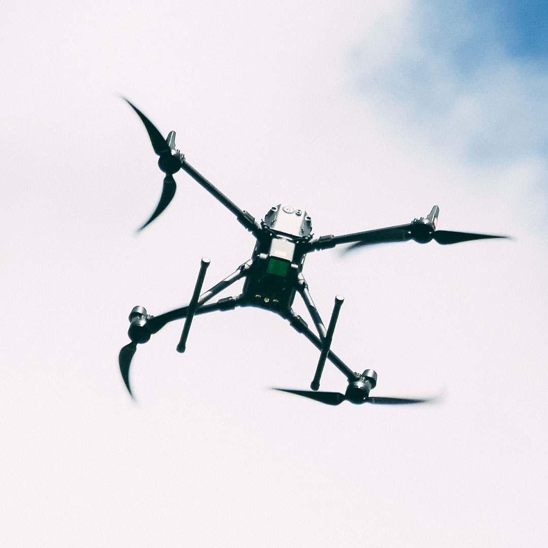
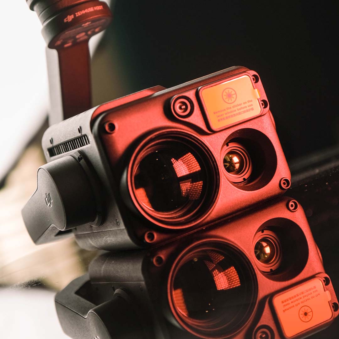
Drones allow our pilots to switch between multiple payloads. This allows coverage of your assets from a multitude of perspectives, including those your eyes can’t see.
cfemmer2020-06-24T17:07:41+00:00


How Spaces attracted five million visitors by improving the content
200%
Higher revenue from digitalcfemmer2020-06-24T16:58:48+00:00


Creativity helped Hemisferio to increase their brand reach vertically
10x
Sales increase with the same ad spendcfemmer2020-06-24T16:57:43+00:00


How DigitalBox used AI-powered data insight to boost sales
3-year
Partnership with Avada Consultantcfemmer2020-06-24T16:56:21+00:00


How CGlobal is using social media as a tool for commercialization
420
Qualified sales lead in 3 monthsTrusted by leading organisations
Our Fleet Meets NDAA and BLUE sUAS Program Requirements for use on critical infrastructure and DOD sites.
Don’t Let Tradition Hold You Back.
Traditional terrestrial and aerial data collection methodologies are expensive, slow, and cumbersome compared to the rapidly advancing field of data acquisition by drones.
